Overview
|
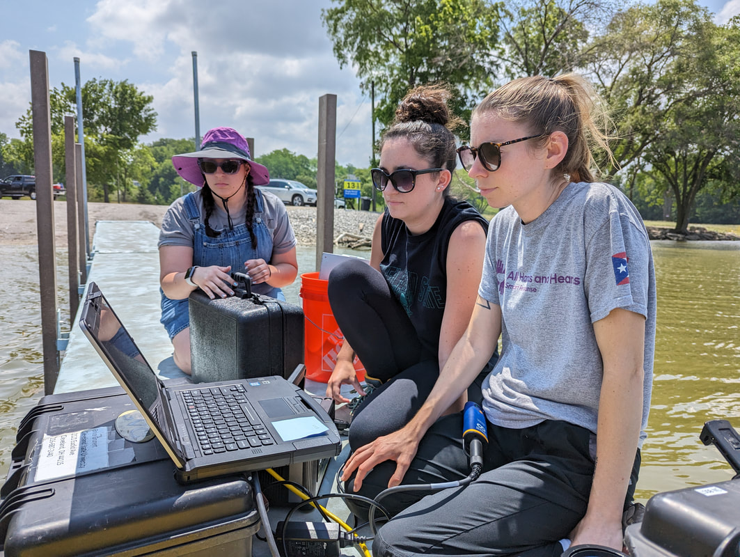
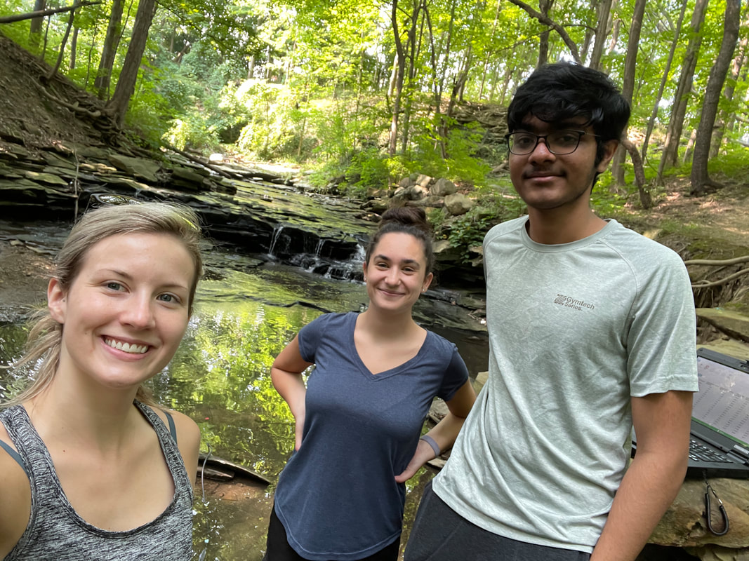
Our research focuses on characterizing dissolved organic carbon cycling, assessing water quality and estimating ecosystem processes through the lens of optics, satellite remote sensing, and process studies. Much of our work happens in the field and lab to provide a detailed understanding of our systems. From there, we begin working with satellite data sets and developing algorithms capable of accurately estimating ecological and biogeochemical processes. Beyond collecting our own data, we also rely heavily on public data repositories. To be efficient and effective, we utilize Python and Matlab for data ingestion and analysis, and SQL databases for data organization and storage.
|
|
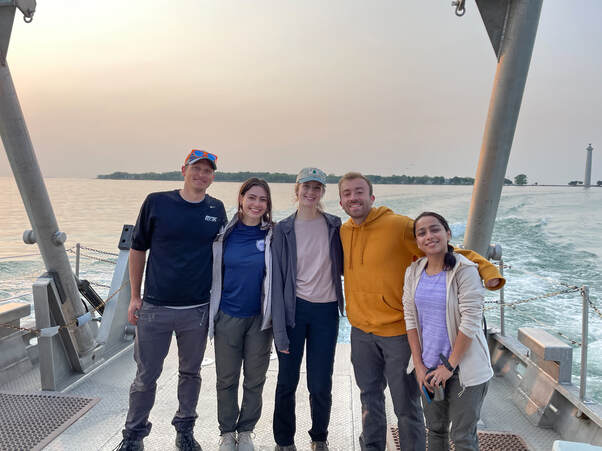
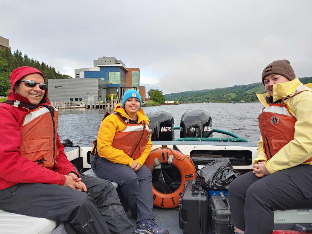
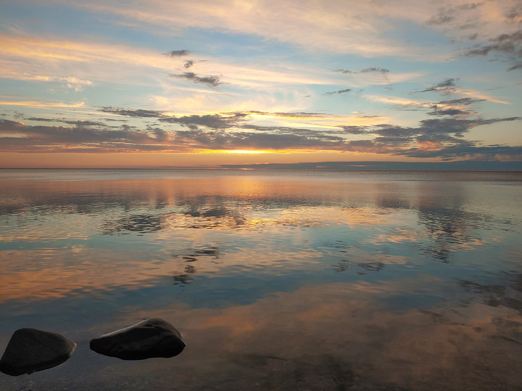
Lake Superior Carbon Cycling and Hyperspectral Remote Sensing
|
NASA New Investigator Program
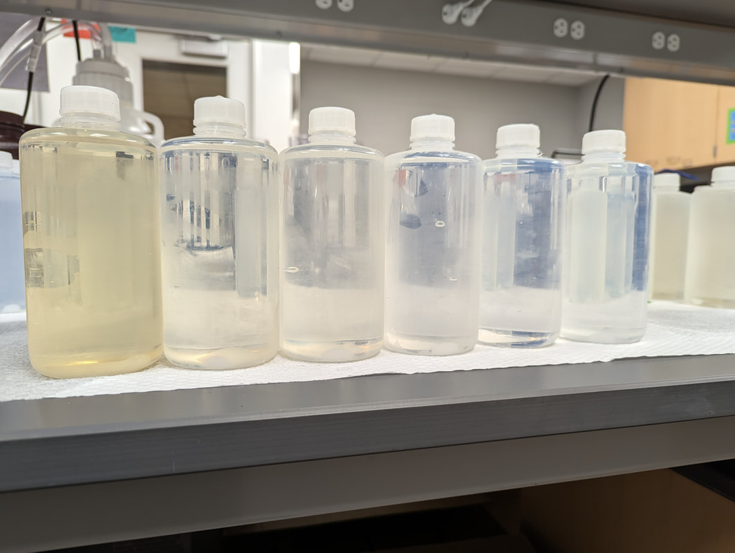
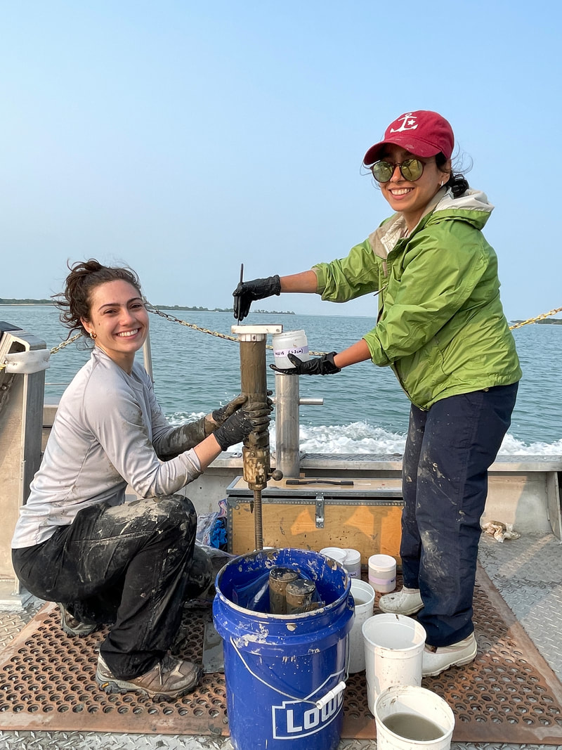
This project seeks to improve our ability to observe variability in colored dissolved organic matter (CDOM) from hyperspectral satellite sensors and relate this observed variability to specific biogeochemical processes (photodegradation and microbial production/degradation of CDOM). Lake Superior is used as a model system for this work, as it includes existing datasets and CDOM is the dominant optical constituent in the system. To conduct this work, we are following three science objectives: 1) Conducting fieldwork in Lake Superior to collect in situ observations and water samples that are incubated to observe the role of sunlight and microbes on alteration of CDOM optics; 2) Estimating the impact of CDOM on hyperspectral reflectance using HydroLight, a radiative transfer model; 3) Improving and developing existing hyperspectral algorithms to improve our ability to retrieve CDOM spectral variability from hyperspectral reflectance, including the use of datasets collected here (field, lab and HydroLight model output). |
|
Internal Phosphorus Cycling and its Impact on Lake Erie Harmful Algal Blooms
NASA Remote Sensing of Water Quality
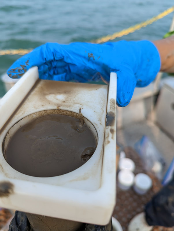
Western Lake Erie water quality is severely degraded by recurring harmful algal blooms every summer, with varying degrees of severity and toxicity. The primary driver of these events is excess phosphorus from extensive agriculture occurring in Lake Erie watersheds. However, this driver alone does not adequately predict the size, severity, and duration of harmful algal blooms in western Lake Erie. A key missing component is an in-depth understanding of internal phosphorus cycling; western Lake Erie sediment, rich in legacy phosphorus, is resuspended in the water column frequently. The frequency and availability of this legacy phosphorus to the aquatic ecosystem is poorly constrained, both in Lake Erie and other similarly impacted systems. This project aims to improve our understanding of internal phosphorus cycling in western Lake Erie through a suite of optical, chemical, isotopic, and sediment in situ observations. Using this data, we seek to characterize how sediment and colored dissolved organic matter, alongside classifications of optical variability in Lake Erie, can serve as predictors of internal phosphorus cycling from satellite observations. We expect this information to be critical in understanding interannual variability in harmful algal bloom dynamics in Lake Erie's western basin that are currently not well predicted using data on riverine phosphorus loading alone. This work will extend past Lake Erie, to inform how we can constrain the impacts of legacy nutrient loading in space and time. |
|
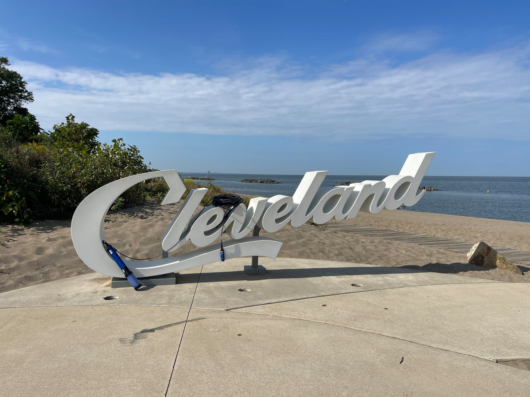
Urban Tree and Water Equity
|
NASA Equity and Environmental Justice
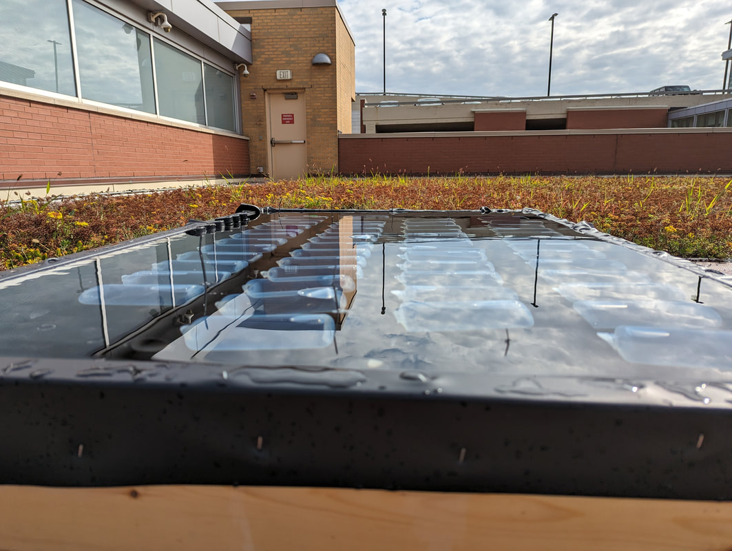
Tree canopy cover is declining in many urban systems. This represents a substantial loss in ecosystem services provided by trees, including the loss of cooling benefits, improvements to water quality, and health benefits of access to green spaces. Many urban communities, including Cleveland and Cuyahoga County, assess the inequitable distribution of tree ecosystem services by considering canopy cover alone, without consideration of tree health and canopy quality when strategizing and allocating resources for tree planting. This project leverages data available from Landsat 8 and collaborations with local community partners to improve spatial understanding of tree canopy quality and associated ecosystem services provided. We are working with the Cuyahoga County Planning Commmission to integrate this information with current knowledge on canopy cover to aid decision making related to equitable distribution of tree ecosystem services in Cleveland. We are also extending this work into the water quality domain, including through internal support from Cleveland State University. We have selected three urban watersheds with contrasting management resources and canopy cover to assess the water quality, carbon composition, and microbial community composition within these waterways. Our goal is to leverage this small dataset to seed future research projects considering how canopy cover impacts the health and resilience of urban waterways, and how tree canopy cover and quality overlap with water quality to further inform the equitable distribution of ecosystem services in urban systems. |
|
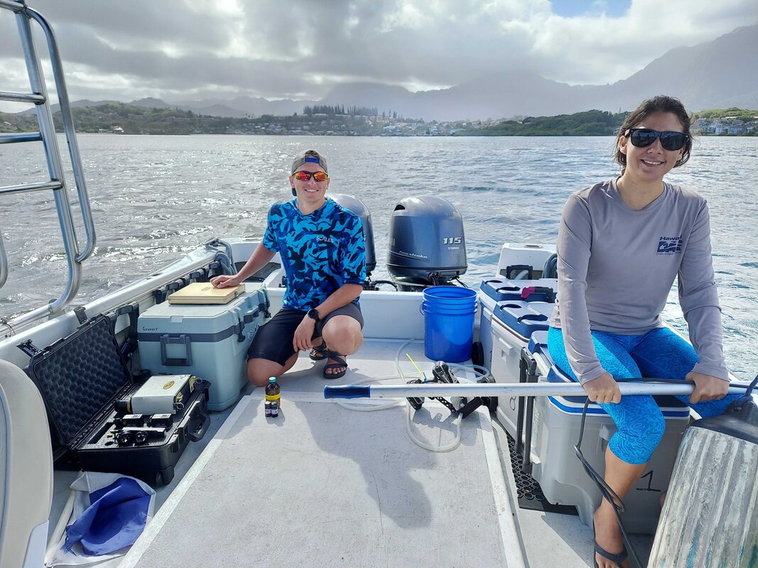
Advancing Tools to Monitor Coastal Water Quality
This work spans multiple coastal aquatic systems, from the Great Lakes to the Hawaiian archipelago to global datasets, and spans tools from multispectral satellites to imaging spectrometers on aircraft and satellites. We leverage data collected within our group and through collaborators, including Arizona State University and City College of New York, as well as public data repositories to improve and develop algorithms. These advanced algorithms return information including organic carbon and phytoplankton community composition, which in turn informs ecosystem functioning and resultant water quality.
|
|